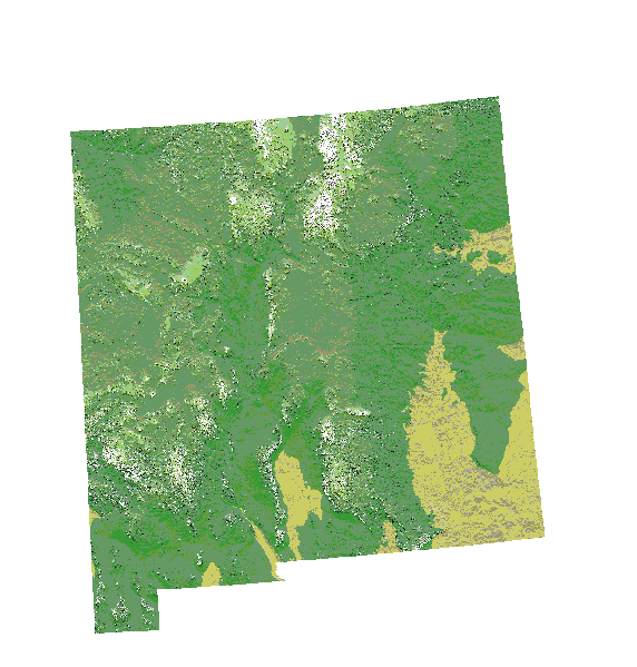
File: Digital-elevation-map-new-mexico.gif
From New World Encyclopedia

Size of this preview: 572 × 599 pixels. Other resolutions: 229 × 240 pixels | 1,324 × 1,387 pixels.
Original file (1,324 × 1,387 pixels, file size: 262 KB, MIME type: image/gif)
File history
Click on a date/time to view the file as it appeared at that time.
| Date/Time | Thumbnail | Dimensions | User | Comment | |
|---|---|---|---|---|---|
| current | 21:58, 22 September 2007 | | 1,324 × 1,387 (262 KB) | Serena Doose (talk | contribs) | [http://en.wikipedia.org/wiki/Image:Digital-elevation-map-new-mexico.gif source and rights] |
You cannot overwrite this file.
File usage
The following page uses this file: